FRAMES - Ninove + Moerbeke-Viane
The Province of East Flanders and Ghent University are the Belgian partners of the European Interreg project FRAMES. This project aims to put multi-layer water safety into practice, with strengthening the resilience of local communities to flooding being a key objective. Making our environment resilient to flooding and climate change is an urgent task.
Within this task, the Ninove-Zuid district and the village of Moerbeke-Viane serve as two test cases that are completely different. We distinguish valley districts (neighbourhoods built within the boundaries of the wet valley), and sound villages (small villages or hamlets on the flanks of the valley), each facing its own issues.

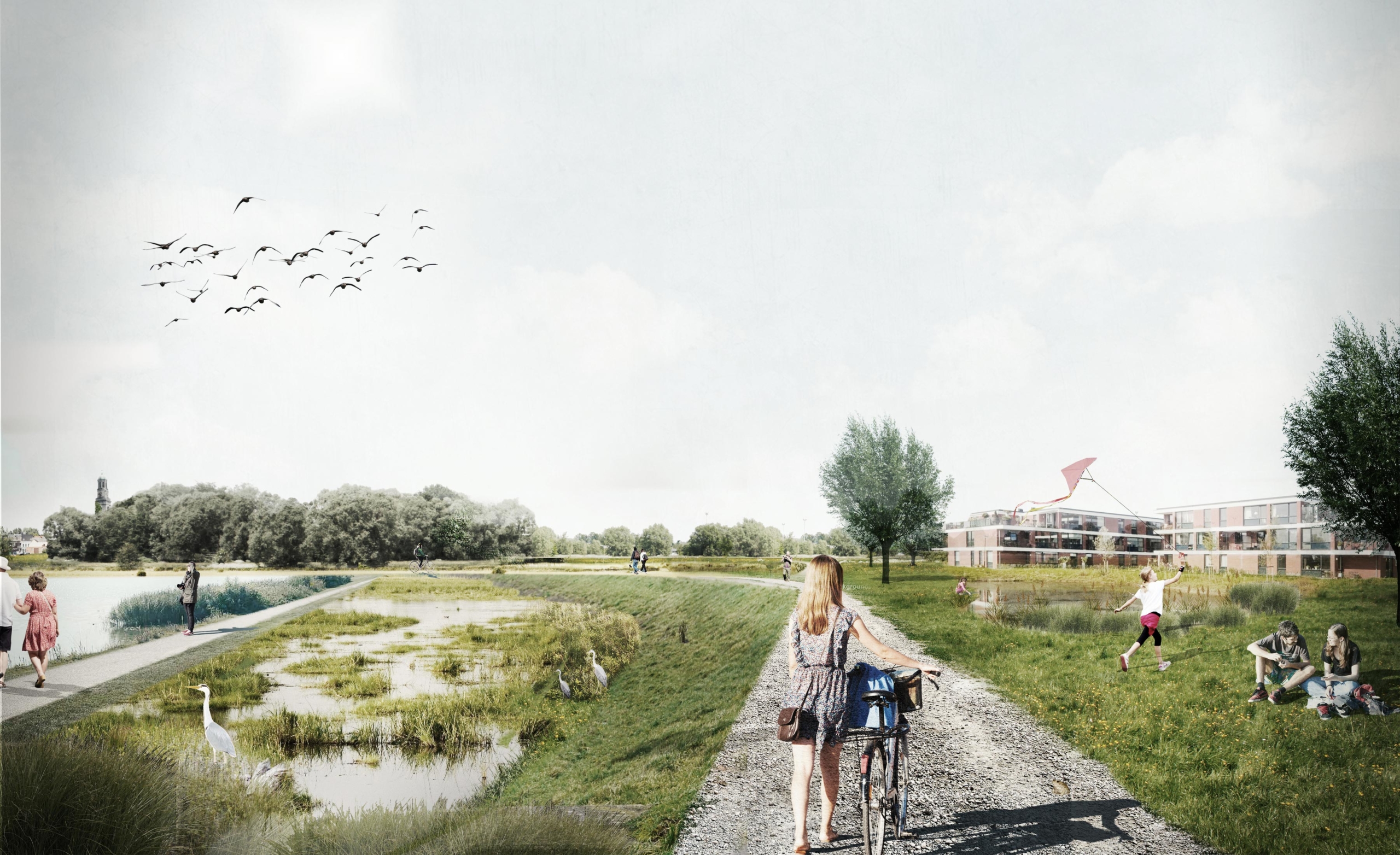
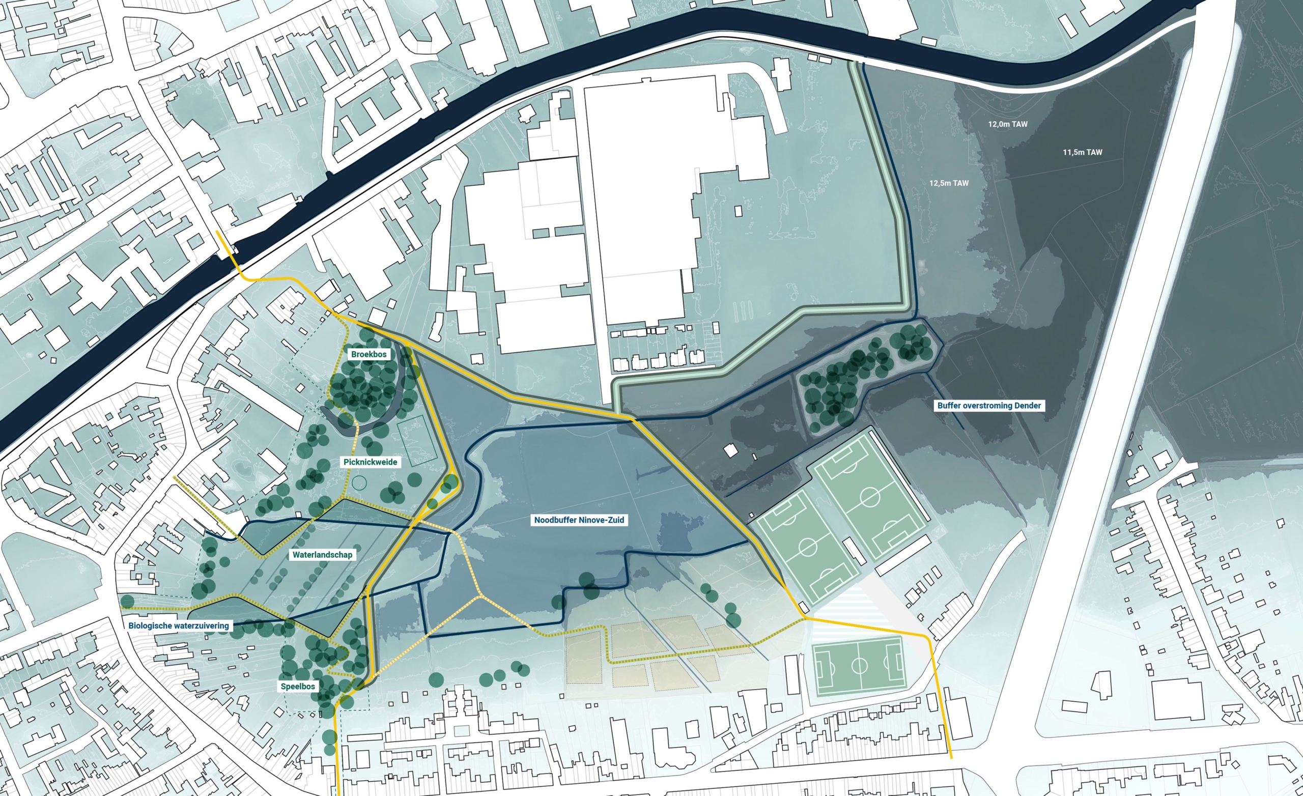
The Ninove-Zuid district is lower than the water level of the Dender, causing two problems: 1. When the river Dender overflows its banks, much of this district floods, 2. During intense rainfall when the RWA is saturated, excess water cannot be drained gravitationally to the Dender, necessitating pumping systems etc. Within this district, we are exploring how the open space area of Burchtdam can provide a solution for both problems.
Today, the Burchtdam is an underutilised landscape consisting of grasslands that occasionally flood or are completely saturated by a high groundwater table. The Burchtdam area is too small at the scale of the Dendervallei to have a significant impact within the rest of the signal areas. It is therefore opted to design the Burchtdam primarily as a buffer basin for excess water from the adjacent Parkwijk. Through the incorporation of several small dyke bodies, the natural functioning of the Burchtdam can thus be much better regulated, as well as serving as a recreational wetland landscape in which drier and wetter parts alternate and enhance the ecological quality of the area.

In Moerbeke-Viane, the problems are completely different. “The village is located on the flank, where tributaries of the Mark (such as the Hollebeek) flow rapidly and are deeply incised in the landscape. During periods of heavy rainfall, erosion of the surrounding agricultural fields occurs and all the sediment along with the water is drained downhill towards the river Mark at a very rapid rate. Due to the many constrictions of the Hollebeek, water and sediment accumulate here, creating large-scale mudflows and floods, causing a lot of damage. Various measures in this valley should lead to the reduction of eroding fields as the maximum delay and buffering of rainwater in retention zones.

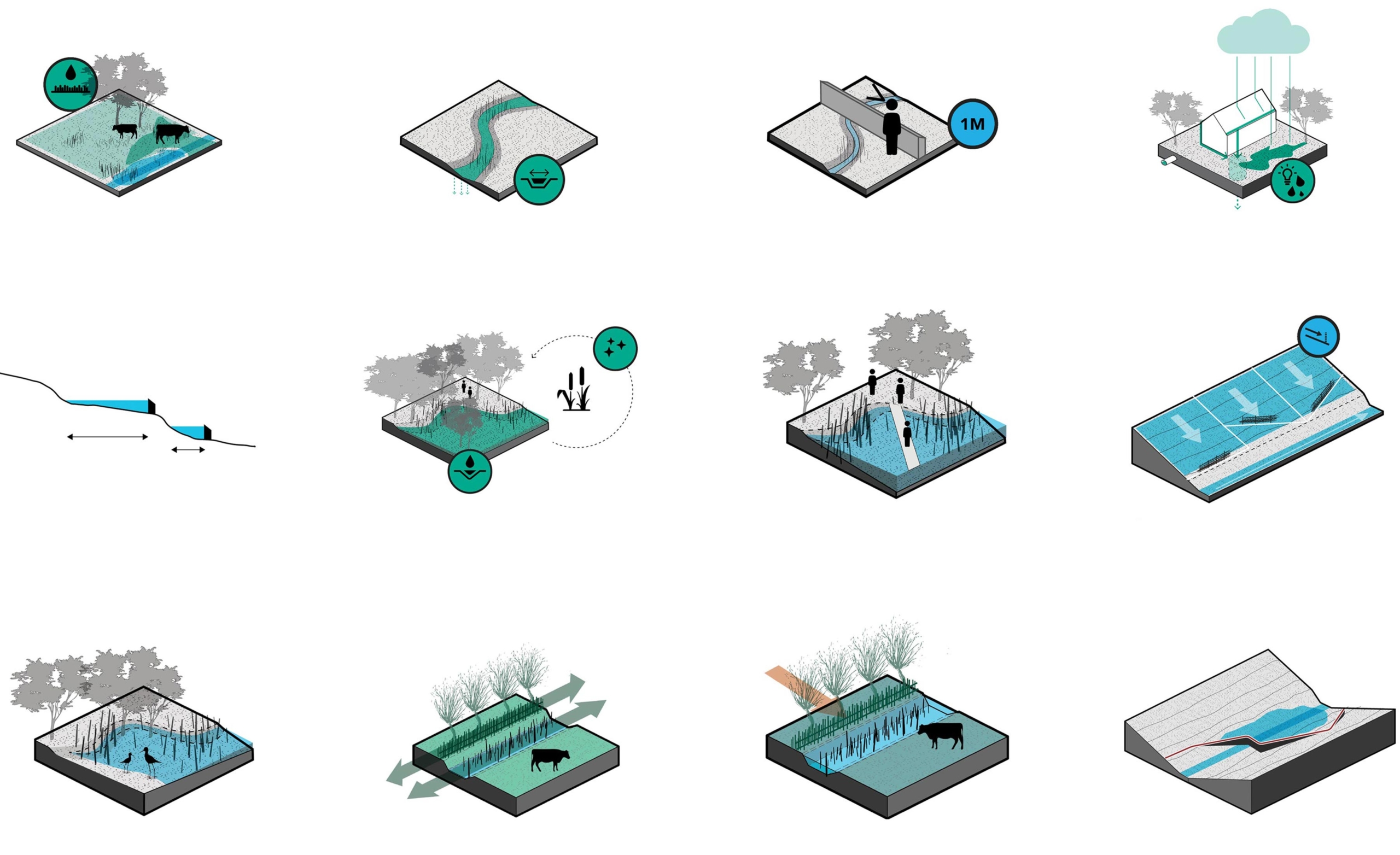
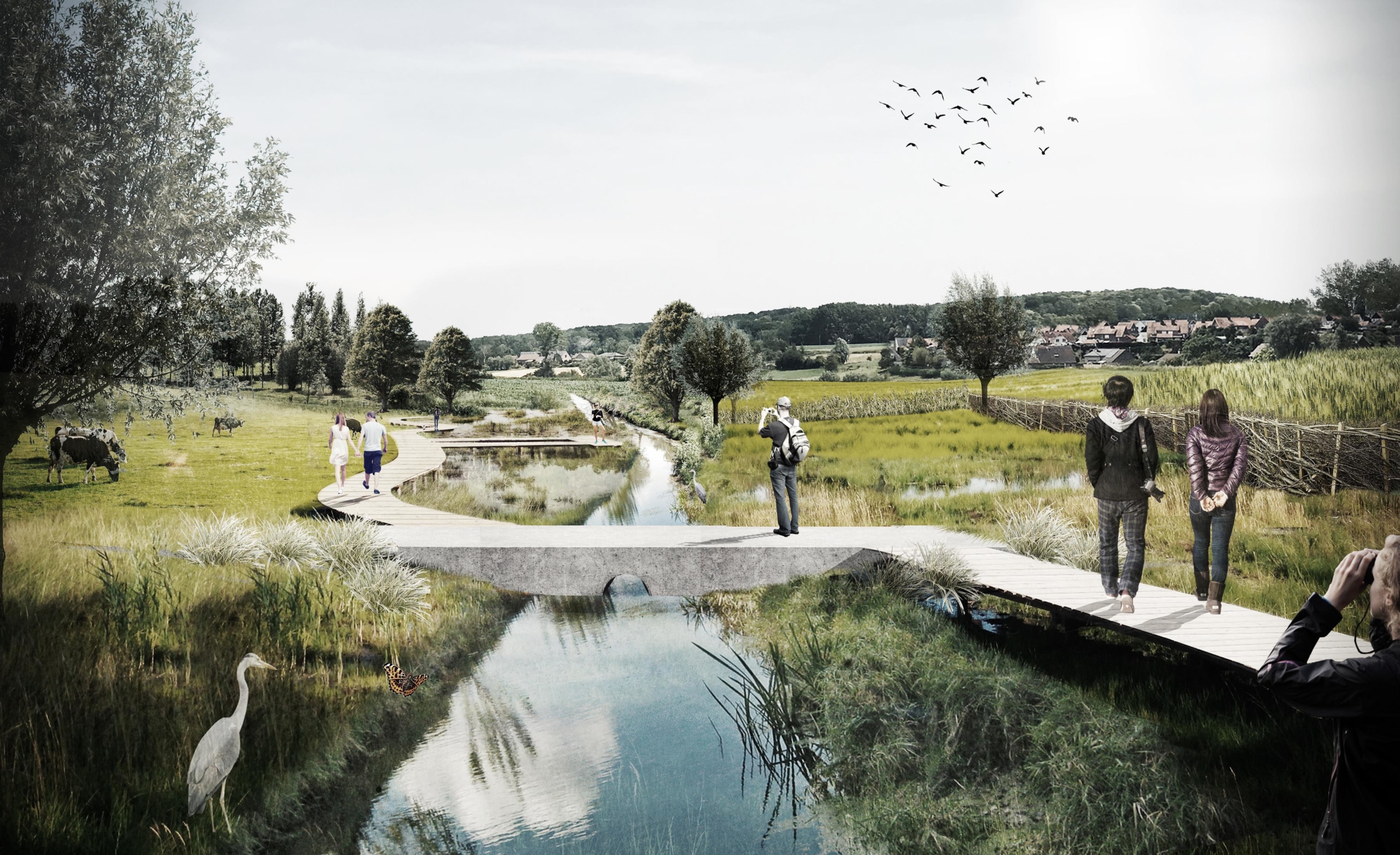
In the Hollebeekvallei, we are deliberately creating flood zones by installing 9 small dyke bodies. Together with other small-scale interventions in side valleys, sufficient volume of water is thus delayed and buffered before flowing through Moerbeke’s village structure. The nine dyke bodies are perpendicular to the valley and are combined on a linear path that follows the valley and takes visitors from the village towards the Karkoolbos (where the Hollebeek starts).
The natural quality of the valley will be enhanced by softening the bed of the Hollebeek, applying ecological management, and planting erosion hedges of willow twigs and wood edges parallel to the river. These not only stop eroding sediment from the higher fields, but also serve as linear nesting sites for small mammals, birds and amphibians. A need, namely to slow down and buffer water in the Hollebeek, is thus transformed into an added value in the valley for people and nature.

- Location
- Ninove + Moerbeke-Viane, Belgium
- Status
- Vision
- Client
- Province of East Flanders
- Together with
- plusofficearchitects, witteveen+bos